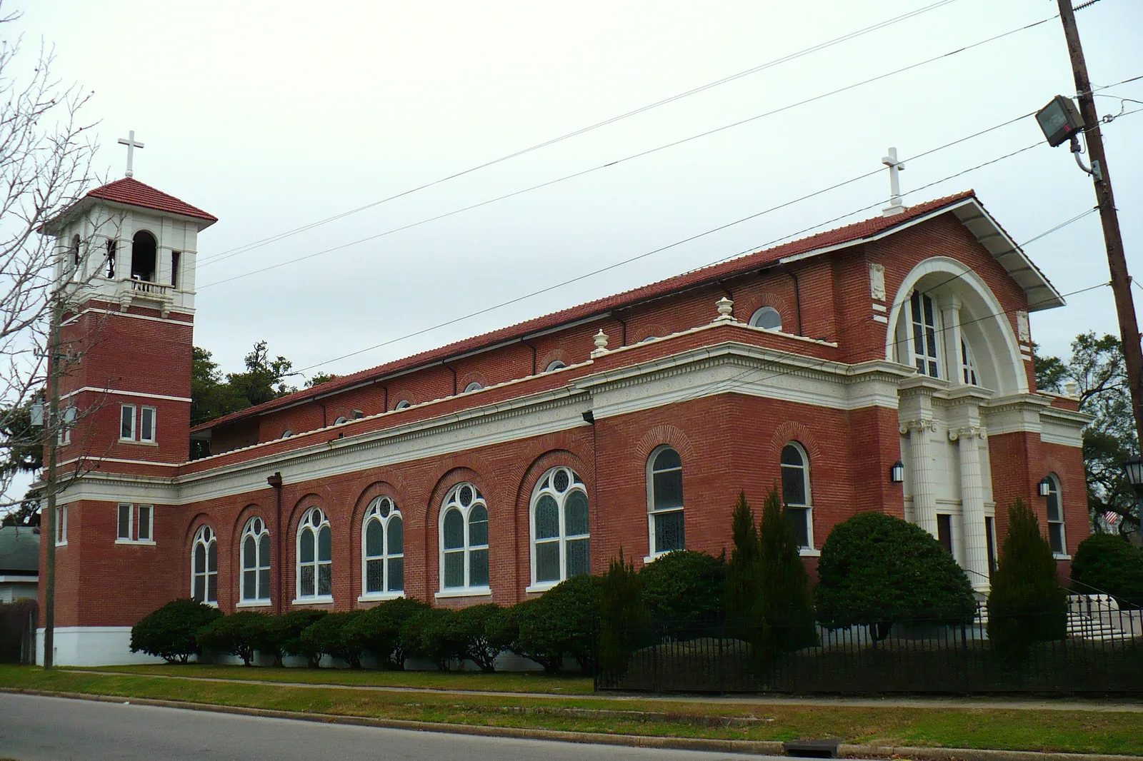
Maysville and Oakdale, two National Register districts south of Midtown, are mostly ZIP 36605 and zoned for Lillie B. Williamson High (grades 6-12).
Last checked Oct. 17, 2026. Sources: the City of Mobile’s open data (National Register historic districts, address points) and Map for Mobile plan; the Mobile County Public Schools school zone lookup; the Alabama State Department of Education’s 2024-25 report card; Zillow Research; Second Line Transit; and OpenStreetMap.
Maysville and Oakdale are side-by-side neighborhoods south of Midtown and the Oakleigh Garden District, on the streets between Broad Street and Houston Street that lead south toward Interstate 10. Both are listed on the National Register of Historic Places, according to the city’s historic district maps, and they have their own parks and community center.
What this means for you
- Zoned high school: Lillie B. Williamson High, a grades 6-12 school, for most of the area (2024-25 state report card: 67, a D).
- Home value: $91,428 in ZIP code 36605 in September 2026, according to the Zillow Home Value Index.
- Nearest interstate exit: I-10 Exit 23 (Michigan Avenue), about 1.5 miles by road.
Part of our Mobile neighborhoods guide.
Where it is
On this page the area is two National Register districts on the city’s maps:
- Maysville, the western one, reaching west to about Houston Street.
- Oakdale, the eastern one, reaching east to about South Carolina Street and South Dearborn Street, just south of the Oakleigh Garden District.
Their city address points run from about Virginia Street on the north to about Arlington Street on the south. On Oct. 17, 2026, the city’s data held 2,681 address points in the two districts: 67% in ZIP code 36605, 17% in 36604 and 14% in 36603. All are inside city limits, so the City of Mobile provides police, fire and garbage service.
Neither district is locally designated, so they are not under the city’s Architectural Review Board, according to Map for Mobile. Broad Street, which runs along the area’s eastern side, is the subject of the city’s Broad Street and MLK Jr. Avenue project.
Schools
Shares are of a sample of 160 city address points across the area, each checked against the Mobile County Public Schools zone lookup on Oct. 17, 2026. Scores are each school’s overall score on the state’s 2024-25 report card.
| Level | School | Share of sample | 2024-25 score (grade) |
|---|---|---|---|
| Middle and high (6-12) | Lillie B. Williamson High, 1567 E. Dublin St. | 92% | 67 (D) |
| High | Ben C. Rain High, 3125 Dauphin Island Pkwy. | 8% | 75 (C) |
| Middle | Calloway-Smith Middle, 350 N. Lawrence St. | 8% | 81 (B) |
| Elementary | Erwin Craighead Elementary, 1000 S. Ann St. | 69% | 82 (B) |
| Elementary | George Hall Elementary, 1108 Antwerp St. | 16% | 67 (D) |
| Elementary | Leinkauf Elementary, 1410 Monroe St. | 15% | 86 (B) |
Where an address is zoned for Williamson, that one school covers grades 6 through 12. The small part zoned for Calloway-Smith goes on to Rain High. Check one address with the district’s school search. More in our schools guide.
Home values
According to the Zillow Home Value Index for September 2026:
| ZIP code | Share of area addresses | Typical value, September 2026 | Change from September 2025 |
|---|---|---|---|
| 36605 | 67% | $91,428 | +0.8% |
| 36604 | 17% | $199,625 | -2.2% |
| 36603 | 14% | $69,508 | +3.1% |
The index is a modeled typical value for the middle third of homes in the whole ZIP code, not a sale price. 36605 also covers the Dog River and Peninsula area far to the south, and 36604 covers much of Midtown. The citywide figure was $196,696, down 0.4% on the year. More in our home prices guide.
Parks and trails
Places OpenStreetMap maps as parks inside the area, with the addresses it gives:
- Harmon-Thomas Park and Community Center, 1611 Belfast St.
- Taylor Park, 1050 Baltimore St.
- Pillans Park
More in our parks and trails guide.
Getting around
- Interstate: I-10 Exit 23 (Michigan Avenue), about 1.5 miles by road, or Exit 24 (Broad Street and Duval Street), about 2.2 miles, using the exit numbers and destination signs mapped in OpenStreetMap.
- Downtown: about 2.9 miles by road to Government Plaza, 205 Government St.
- Airports: about 2.9 miles to Mobile International Airport (BFM), 2455 Michigan Ave., and 11.9 miles to Mobile Regional Airport (MOB). Distances are measured from a central address on the OpenStreetMap road network with the OSRM routing engine; they are distances, not drive times.
- Buses: Second Line Transit Route I runs down Broad Street and along Baltimore Street past Taylor Park toward Airbus, every 30 minutes on weekdays, according to its route page. Route J uses Michigan Avenue, Virginia Street, Dublin Street and Houston Street on its way to Dauphin Island Parkway.
More in our getting around guide.
Groceries and everyday stores
OpenStreetMap shows no supermarket or pharmacy inside the two districts. The nearest are a Greer’s on South Broad Street, just east, and an Aldi and a Walgreens on Government Street, under half a mile north.
Homeowners associations
The City of Mobile does not publish a homeowners association registry, and none of its maps or plans name one for these districts.
How we drew this area
The area is the Maysville and Oakdale polygons in the city’s National Register historic districts layer, checked Oct. 17, 2026, joined into one area; the street edges come from the city address points at its edges. ZIP codes come from every city address point inside it; school shares come from a sample of 160 of those points run through the district’s zone lookup. Place and store locations are © OpenStreetMap contributors.
Frequently asked questions
Where are Maysville and Oakdale in Mobile?
South of Midtown and southwest of downtown, between Virginia Street on the north and about Arlington Street on the south, from Houston Street east to the South Carolina and Dearborn streets area. Both are National Register historic districts on the city’s maps.
What schools are Maysville and Oakdale zoned for?
Mostly Lillie B. Williamson High, which serves grades 6 to 12, and Erwin Craighead Elementary, according to the Mobile County Public Schools zone lookup. Parts are zoned for George Hall or Leinkauf elementary, and a small part for Calloway-Smith Middle and Ben C. Rain High.
What ZIP code is Maysville in Mobile?
Mostly 36605, for 67% of the city address points in the two districts, with the rest in 36604 and 36603. Zillow’s typical value in 36605 was $91,428 in September 2026.
Do Maysville and Oakdale have historic district rules?
They are National Register districts only, so they are not under the city’s Architectural Review Board the way locally designated districts are, according to the Map for Mobile plan.
Have your say