Downtown Mobile spans ZIP codes 36602 and 36603, is zoned for Howard Elementary and mostly Ben C. Rain High, and is the hub for seven bus routes.
Last checked Oct. 17, 2026. Sources: the City of Mobile’s open data (Map for Mobile development framework, historic districts, city limits and address points) and Map for Mobile plan; the Mobile County Public Schools school zone lookup; the Alabama State Department of Education’s 2024-25 report card; Zillow Research; Second Line Transit; and OpenStreetMap.
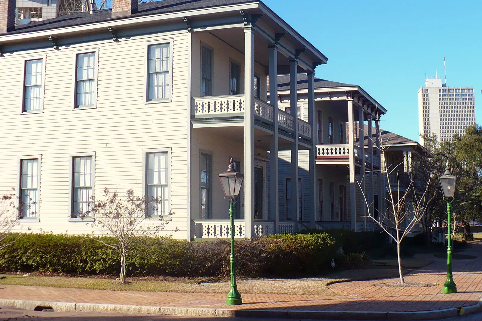
Downtown is the old city on the Mobile River: Dauphin Street’s bars and storefronts, the squares and churches, Government Plaza and the convention center, and the 19th century houses of the De Tonti Square and Church Street East districts. It is the smallest area in this guide by land and one of the few where most homes are apartments, condos and townhouses over or between businesses.
What this means for you
- Zoned high school: Ben C. Rain High for most of downtown (2024-25 state report card: 75, a C); a smaller part is zoned for Murphy High (72, a C).
- Home value: $328,784 in ZIP code 36602 in September 2026, according to the Zillow Home Value Index.
- Nearest interstate exit: I-10 Exit 25B (Virginia Street), about 1.4 miles by road.
Part of our Mobile neighborhoods guide. For restaurants, nightlife and what to do, see our downtown Mobile and Dauphin Street guide.
Where it is
On this page downtown is the area the city maps as Downtown in the development framework of Map for Mobile, its comprehensive plan: roughly the blocks from Royal Street and the riverfront west to Bayou Street, and from Adams Street south to Eslava Street, judging by the city address points at its edges. On Oct. 17, 2026, the city’s data held 1,851 address points in it: 76% in ZIP code 36602 and 24% in 36603. All are inside city limits, so the City of Mobile provides police, fire and garbage service.
Four historic districts on the city’s maps fall inside it:
- Lower Dauphin Street, the commercial core along Dauphin Street, a locally designated district and on the National Register of Historic Places.
- De Tonti Square, the residential blocks around De Tonti Square north of downtown’s center, local and National Register.
- Church Street East, the southern blocks along Church, Government and Conti streets, including Fort Conde Village, local and National Register.
- Automobile Alley, a National Register district.
Locally designated districts are under the city’s Architectural Review Board, so exterior work on a building there needs its approval; the National Register districts are not, according to the plan. New buildings downtown follow the Downtown Development District code, a form-based code the city adopted in 2014 that puts buildings at the sidewalk and parking behind them. The city proposed updates to that code in October 2025.
Schools
Shares are of a sample of 160 city address points across the area, each checked against the Mobile County Public Schools zone lookup on Oct. 17, 2026. Scores are each school’s overall score on the state’s 2024-25 report card.
| Level | School | Share of sample | 2024-25 score (grade) |
|---|---|---|---|
| High | Ben C. Rain High, 3125 Dauphin Island Pkwy. | 88% | 75 (C) |
| High | Murphy High, 100 S. Carlen St. | 12% | 72 (C) |
| Middle | Calloway-Smith Middle, 350 N. Lawrence St. | 100% | 81 (B) |
| Elementary | Florence Howard Elementary, 957 Dr. Martin Luther King Jr. Ave. | 100% | 82 (B) |
The split between Rain and Murphy follows the zone lines, not a street you can see. Check one address with the district’s school search. Magnet schools such as Barton Academy for Advanced World Studies take students by lottery, not by address. More in our schools guide.
Home values
According to the Zillow Home Value Index for September 2026:
| ZIP code | Share of area addresses | Typical value, September 2026 | Change from September 2025 |
|---|---|---|---|
| 36602 | 76% | $328,784 | -3.4% |
| 36603 | 24% | $69,508 | +3.1% |
The index is a modeled typical value for the middle third of homes in the whole ZIP code, not a sale price. 36603 reaches well beyond downtown into neighborhoods to the north and west, which is one reason the two figures are so far apart. The citywide figure was $196,696, down 0.4% on the year. More in our home prices guide.
Parks and trails
Places OpenStreetMap maps as parks inside the area, with the addresses it gives:
- Bienville Square, 150 Dauphin St.
- Cathedral Square, 300 Conti St.
- De Tonti Square Park, 311 N. Conception St.
- British Park, 209 S. Dearborn St.
- Ryan Park, 750 Spring Hill Ave.
- Isom Clemon Civil Rights Memorial Park
On the edge of the area are Mardi Gras Park, 163 Government St., and Spanish Plaza, 401 Government St. More in our parks and trails guide.
Getting around
- Interstate: I-10 Exit 25B (Virginia Street), about 1.4 miles by road, and Exit 26B (Water Street, downtown), using the exit numbers and destination signs mapped in OpenStreetMap. I-10 runs under the river through the George Wallace Tunnel toward Baldwin County.
- Downtown: Government Plaza, 205 Government St., is about half a mile by road from the middle of the area.
- Airports: about 5.4 miles to Mobile International Airport (BFM), 2455 Michigan Ave., and 13 miles to Mobile Regional Airport (MOB), 8400 Airport Blvd. Distances are measured from a central address on the OpenStreetMap road network with the OSRM routing engine; they are distances, not drive times.
- Buses: the GM&O Transit Center, 110 Beauregard St., is the hub of Second Line Transit. Routes A, B, C, D, E, I and J start there, and Route K, the Downtown Circulator, loops past Government Plaza, the convention center, Bienville Square and the cruise terminal every 30 minutes on Saturdays, according to its route page.
The city’s downtown parking rules and meter hours are in our getting around guide.
Groceries and everyday stores
From OpenStreetMap: Greer’s St. Louis Market on St. Louis Street and Royal St. Pharmacy on South Royal Street are inside the area, and Greer’s Downtown Market is just west on Government Street. The Ben May Main Library, 701 Government St., is a block outside it.
Homeowners associations
The City of Mobile does not publish a homeowners association registry. Buildings with condos usually have their own associations; ask the seller or the building for its documents.
How we drew this area
The area is the Downtown polygon in the city’s development framework layer, checked Oct. 17, 2026. ZIP codes come from every city address point inside it; school shares come from a sample of 160 of those points run through the district’s zone lookup. Place and store locations are © OpenStreetMap contributors.
Frequently asked questions
What ZIP code is downtown Mobile?
Mostly 36602. Of the 1,851 city address points inside the downtown area of the city’s Map for Mobile framework, 76% are in 36602 and 24% in 36603.
What schools is downtown Mobile zoned for?
Florence Howard Elementary and Calloway-Smith Middle for the whole area, and Ben C. Rain High for most of it, with a smaller part zoned for Murphy High, according to the Mobile County Public Schools zone lookup. Check one address with the district’s school search.
How much is a home in downtown Mobile?
The Zillow Home Value Index for ZIP code 36602 was $328,784 in September 2026, down 3.4% from a year earlier. In 36603 it was $69,508. Both are modeled typical values, not sale prices.
Is there a bus downtown in Mobile?
Yes. Seven Second Line Transit routes start at the GM&O Transit Center, 110 Beauregard St., and Route K, the Downtown Circulator, loops downtown every 30 minutes on Saturdays.
Have your say