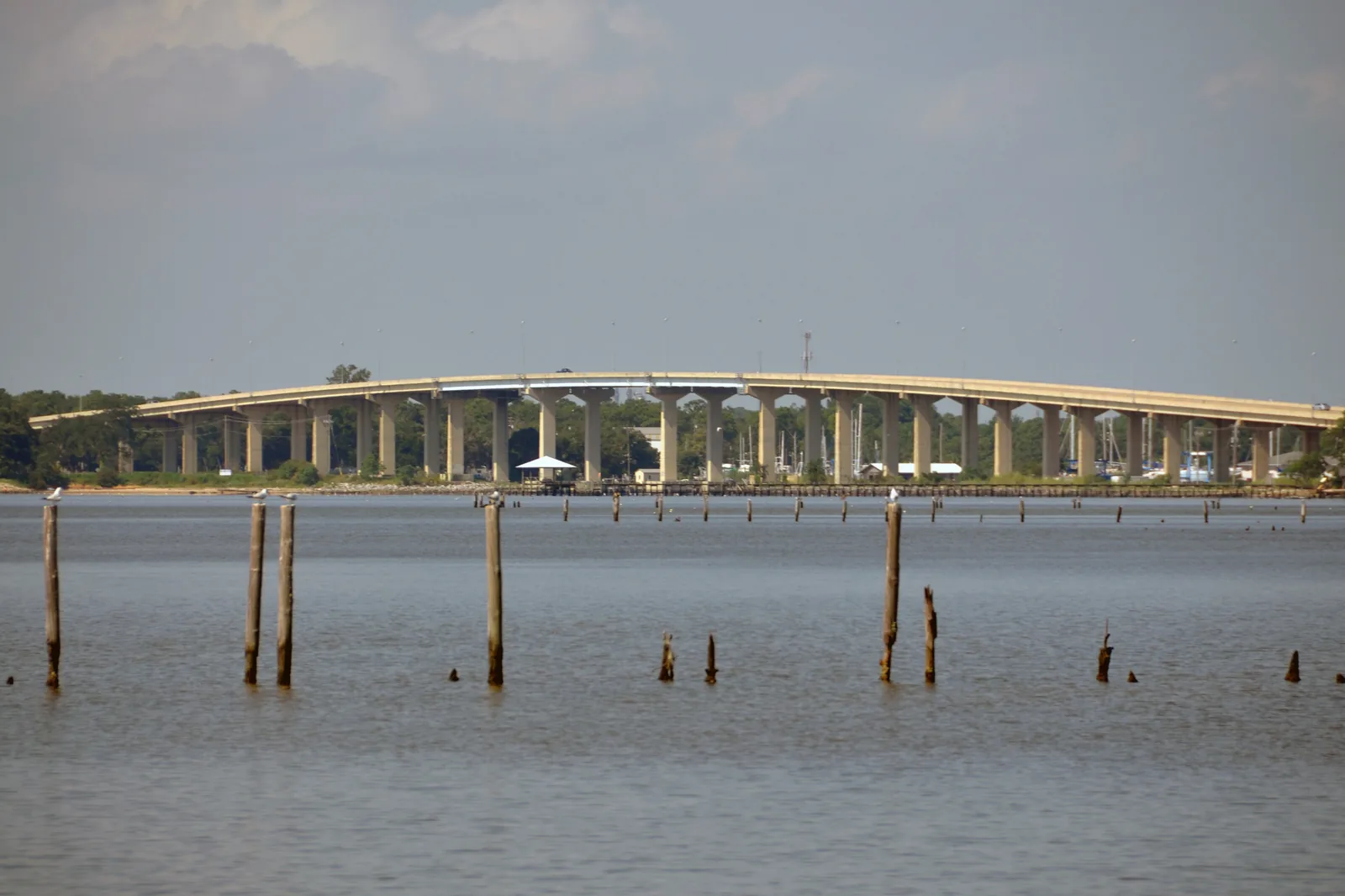
The Peninsula, between Dog River and Mobile Bay off Dauphin Island Parkway, is ZIP 36605 and zoned for Gilliard Elementary, Pillans and Rain High.
Last checked Oct. 17, 2026. Sources: the City of Mobile’s open data (neighborhood overlay districts, city limits, address points) and Map for Mobile plan; the Mobile County Public Schools school zone lookup; the Alabama State Department of Education’s 2024-25 report card; Zillow Research; Second Line Transit; and OpenStreetMap.
The Peninsula is the stretch of south Mobile between Dog River and Mobile Bay, built along Dauphin Island Parkway and the streets that run off it to the water. Dog River was the natural resource residents named most often as one of Mobile’s “strong places” at the city’s 2015 Focus on the Future workshop, with access to the water as its main draw, according to Map for Mobile.
What this means for you
- Zoned high school: Ben C. Rain High, for the whole area in our sample (2024-25 state report card: 75, a C).
- Home value: $91,428 in ZIP code 36605 in September 2026, according to the Zillow Home Value Index.
- Nearest interstate exit: I-10 Exit 23 (Michigan Avenue), about 5.5 miles by road, or Exit 22 (Dauphin Island Parkway), about 5.8 miles.
Part of our Mobile neighborhoods guide.
Where it is
On this page the area is the city’s Peninsula neighborhood overlay district, a zoning overlay on its maps. Dog River, as mapped in OpenStreetMap, winds along and through its western and southern sides to the bay, and Mobile Bay forms its eastern side. Its city address points run from about Neshota Drive on the north to the parkway’s southern stretch near Alba Avenue and Canal Road, and from Scenic Drive and Riverside Drive West on the west to Bay Front Road and Cedar Crescent Drive on the bay.
On Oct. 17, 2026, the city’s data held 5,961 address points in the overlay, all but two in ZIP code 36605. All are inside city limits, so the City of Mobile provides police, fire and garbage service. The streets with the most addresses include Dauphin Island Parkway, Cedar Crescent Drive, Brill Road, Club House Road, Riverside Drive and Old Military Road.
Much of the area sits beside open water. The city’s open data includes FEMA flood hazard and storm surge layers, and our hurricane prep guide links the Mobile County Emergency Management Agency’s evacuation zone lookup.
Schools
Shares are of a sample of 160 city address points across the area, each checked against the Mobile County Public Schools zone lookup on Oct. 17, 2026. Scores are each school’s overall score on the state’s 2024-25 report card.
| Level | School | Share of sample | 2024-25 score (grade) |
|---|---|---|---|
| High | Ben C. Rain High, 3125 Dauphin Island Pkwy. | 100% | 75 (C) |
| Middle | Pillans Middle, 2051 Military Road | 100% | 61 (D) |
| Elementary | Dr. Robert W. Gilliard Elementary, 2757 Dauphin Island Pkwy. | 100% | 86 (B) |
All three schools are inside the area. Check one address with the district’s school search. More in our schools guide.
Home values
The Zillow Home Value Index for ZIP code 36605 was $91,428 in September 2026, up 0.8% from $90,720 in September 2025. The index is a modeled typical value for the middle third of homes in the whole ZIP code, not a sale price, and 36605 reaches well north of the Peninsula, into Maysville and the neighborhoods off Broad Street. The citywide figure was $196,696, down 0.4% on the year. More in our home prices guide.
Parks and trails
Places OpenStreetMap maps as parks inside the area, with the addresses it gives:
- Helen Wood Park, 4614-4616 Dauphin Island Pkwy.
- McNally Park, 4380 Park Road.
- Newhouse Park, 2960 Alston Drive.
- Doyle Park, 1728 Rosedale Road.
- Trimmier Park
The Parkway Branch of the Mobile Public Library, 1924 Dauphin Island Pkwy., is inside the area. More in our parks and trails guide.
Getting around
- Interstate: I-10 Exit 23 (Michigan Avenue), about 5.5 miles by road, or Exit 22 (Dauphin Island Parkway), about 5.8 miles, using the exit numbers and destination signs mapped in OpenStreetMap. Dauphin Island Parkway (Alabama 163) is the main road in and out.
- Downtown: about 8.1 miles by road to Government Plaza, 205 Government St.
- Airports: about 3.7 miles to Mobile International Airport (BFM), 2455 Michigan Ave., and 16.4 miles to Mobile Regional Airport (MOB). Distances are measured from a central address on the OpenStreetMap road network with the OSRM routing engine; they are distances, not drive times.
- Buses: Second Line Transit Route J runs from downtown down Dauphin Island Parkway to the Fullbrook Shopping Center near Old Military Road, every 60 minutes on weekdays, and lists Ben C. Rain High among its destinations.
More in our getting around guide.
Groceries and everyday stores
From OpenStreetMap: a Piggly Wiggly and a CVS Pharmacy are inside the area, both on Dauphin Island Parkway.
Homeowners associations
The City of Mobile does not publish a homeowners association registry, and none of its maps or plans name one for this area.
How we drew this area
The area is the Peninsula polygon in the city’s neighborhood overlay layer, checked Oct. 17, 2026; the street edges come from the city address points at its edges. ZIP codes come from every city address point inside it; school shares come from a sample of 160 of those points run through the district’s zone lookup. Place and store locations are © OpenStreetMap contributors.
Frequently asked questions
Where is the Peninsula in Mobile?
In south Mobile, between Dog River and Mobile Bay, on both sides of Dauphin Island Parkway south of about Neshota Drive. The city maps it as the Peninsula neighborhood overlay district.
What schools does the Dog River and Peninsula area go to?
Dr. Robert W. Gilliard Elementary, Pillans Middle and Ben C. Rain High, for every address in our sample, according to the Mobile County Public Schools zone lookup. All three schools are inside the area.
What ZIP code is Dog River in Mobile?
36605, for nearly every city address point in the Peninsula overlay. Zillow’s typical home value in 36605 was $91,428 in September 2026, up 0.8% from a year earlier.
Is the Dog River area inside Mobile city limits?
The Peninsula overlay is. Every one of its 5,961 address points in the city’s data was inside city limits on Oct. 17, 2026, so the City of Mobile provides police, fire and garbage service.
Have your say