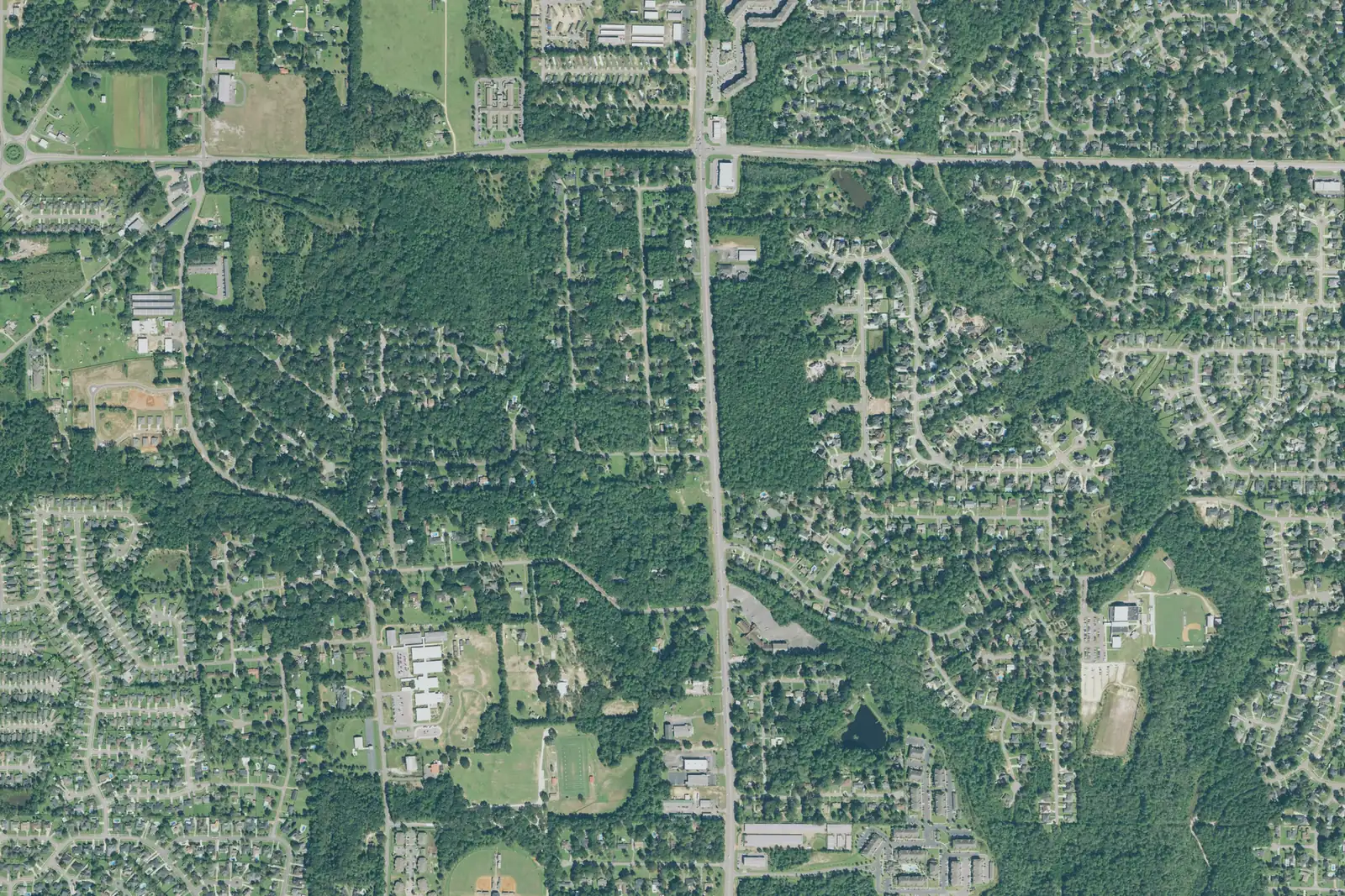
The Cottage Hill corridor joined Mobile in 2023. It is ZIP 36695, mostly zoned for O'Rourke Elementary, Causey Middle and Baker High.
Last checked Oct. 17, 2026. Sources: the City of Mobile’s annexation page and open data (annexations, city limits, address points); the Mobile County Public Schools school zone lookup; the Alabama State Department of Education’s 2024-25 report card; Zillow Research; Second Line Transit; and OpenStreetMap.
The Cottage Hill corridor is the newest big piece of the City of Mobile: suburban subdivisions, schools and shopping along Schillinger Road South, Cottage Hill Road and Dawes Road in west Mobile. On July 18, 2023, voters in three areas of west Mobile chose to join the city, and after the votes were certified on July 25, more than 19,000 new residents became Mobilians, according to the city’s annexation page. By land, this was the largest of the three areas.
What this means for you
- Zoned high school: Baker High for most of the area (2024-25 state report card: 79, a C); the rest is zoned for W.P. Davidson High (74, a C).
- Home value: $279,459 in ZIP code 36695 in September 2026, according to the Zillow Home Value Index.
- Nearest interstate exit: I-65 Exit 3 (Airport Boulevard) or Exit 1 (Government Boulevard), each about 9.5 miles by road.
Part of our Mobile neighborhoods guide.
Where it is
On this page the area is the Cottage Hill annexation on the city’s annexations map, 4,911 acres approved by city resolution in July 2023. Its city address points run from about Greenpark Drive and Lakeview Drive on the north to the Zephyr Drive area on the south, and from the Spring Grove streets on the west to about Cody Road South on the east. The streets with the most addresses are Schillinger Road South, Cottage Hill Road, Greenpark Drive, Leroy Stevens Road, Dawes Road and Hitt Road.
On Oct. 17, 2026, the city’s data held 7,594 address points in it, all in ZIP code 36695. Since annexation, the City of Mobile provides police, fire and garbage service there; the annexation page explains when each service started. Use the city’s My Place tool to check whether a particular address is inside city limits, because the city limit line runs close by.
The name “Cottage Hill” is older than the annexation: OpenStreetMap places a Cottage Hill farther east, and Map for Mobile calls the Medal of Honor Park area Cottage Hill. This page covers only the 2023 annexation area.
Schools
Shares are of a sample of 160 city address points across the area, each checked against the Mobile County Public Schools zone lookup on Oct. 17, 2026. Scores are each school’s overall score on the state’s 2024-25 report card.
| Level | School | Share of sample | 2024-25 score (grade) |
|---|---|---|---|
| High | Baker High, 8901 Airport Blvd. | 79% | 79 (C) |
| High | W.P. Davidson High, 3900 Pleasant Valley Road | 21% | 74 (C) |
| Middle | Bernice J. Causey Middle, 2205 McFarland Road | 79% | 85 (B) |
| Middle | Burns Middle, 6175 Girby Road | 21% | 73 (C) |
| Elementary | O’Rourke Elementary, 1975 Leroy Stevens Road | 64% | 91 (A) |
| Elementary | E.R. Dickson Elementary, 4645 Bit and Spur Road | 25% | 72 (C) |
| Elementary (K-2) | Hutchens Elementary, 10005 West Lake Road | 8% | 91 (A) |
| Elementary (3-5) | Dawes Intermediate, 10451 West Lake Road | 8% | 92 (A) |
| Elementary | Elsie Collier Elementary, 601 Snow Road North | 2% | 91 (A) |
O’Rourke Elementary is inside the area. Where an address is zoned for Hutchens, it is zoned for Dawes Intermediate too: Hutchens takes kindergarten to second grade and Dawes third to fifth. The area is split among several zones, so check one address with the district’s school search. More in our schools guide.
Home values
The Zillow Home Value Index for ZIP code 36695 was $279,459 in September 2026, up 1.1% from $276,485 in September 2025. The index is a modeled typical value for the middle third of homes in the whole ZIP code, not a sale price, and 36695 also covers areas that were already in the city and unincorporated land. The citywide figure was $196,696, down 0.4% on the year. More in our home prices guide.
Parks and trails
Places OpenStreetMap maps as parks inside the area, with the addresses it gives:
- West Mobile Park, 2275 Leroy Stevens Road.
- Westside Ballpark, 7100 Hitt Road.
- West Side Park, 1001 Hitt Road.
The city’s larger parks, such as Langan Park and Medal of Honor Park, are farther east; see our parks and trails guide.
Getting around
- Interstate: I-65 Exit 3 (Airport Boulevard) and Exit 1 (Government Boulevard, U.S. 90), each about 9.5 miles by road, and I-10 Exit 15 (U.S. 90), about 9.6 miles, using the exit numbers and destination signs mapped in OpenStreetMap.
- Downtown: about 14.3 miles by road to Government Plaza, 205 Government St.
- Airports: about 3 miles to Mobile Regional Airport (MOB), 8400 Airport Blvd., and 15.6 miles to Mobile International Airport (BFM). Distances are measured from a central address on the OpenStreetMap road network with the OSRM routing engine; they are distances, not drive times.
- Buses: none of the stops listed on Second Line Transit’s 11 route pages is in the area. The nearest fixed route, Route H, turns off Cottage Hill Road at Hillcrest Road, several miles east. Check Second Line’s site for its on-demand microtransit zone.
More in our getting around guide.
Groceries and everyday stores
From OpenStreetMap, inside the area: a Publix and a CVS Pharmacy on Cottage Hill Road, a Walmart Supercenter and a Walgreens on Dawes Road, a Walgreens on Schillinger Road South and Dawes Pointe Pharmacy on Cottage Hill Road. Just outside on Schillinger Road South are an Aldi and a second Walmart Supercenter.
Homeowners associations
The City of Mobile does not publish a homeowners association registry, and none of its maps or plans name one for this area.
How we drew this area
The area is the Cottage Hill polygon in the city’s annexations layer, checked Oct. 17, 2026; the street edges come from the city address points at its edges. ZIP codes come from every city address point inside it; school shares come from a sample of 160 of those points run through the district’s zone lookup. Place and store locations are © OpenStreetMap contributors.
Frequently asked questions
When did Cottage Hill join the City of Mobile?
Voters in three areas of west Mobile, the Cottage Hill corridor, Orchard Estates and Kings Branch, chose to join the city on July 18, 2023, and the votes were certified on July 25, 2023, according to the city’s annexation page.
What schools is the Cottage Hill corridor zoned for?
Mostly O’Rourke Elementary, Causey Middle and Baker High. Parts are zoned for Dickson, Hutchens and Dawes Intermediate, or Collier elementary, Burns Middle and Davidson High, according to the Mobile County Public Schools zone lookup.
What ZIP code is the Cottage Hill annexation area?
36695, for every city address point in it. Zillow’s typical home value in 36695 was $279,459 in September 2026, up 1.1% from a year earlier.
How do I know if my west Mobile address is inside the city?
Search it with the city’s My Place tool, which the city’s annexation page says shows whether a property is inside the expanded city limits and which services and council district apply.
Have your say